
Ponder topographic map
Interactive map
Click on the map to display elevation.
About this map
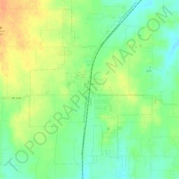
Name: Ponder topographic map, elevation, terrain.
Location: Ponder, Denton County, Texas, 76259, United States (33.15846 -97.32653 33.20395 -97.26617)
Average elevation: 225 m
Minimum elevation: 206 m
Maximum elevation: 247 m