
Euphrates topographic map
Interactive map
Click on the map to display elevation.
About this map
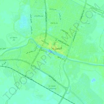
Name: Euphrates topographic map, elevation, terrain.
Average elevation: 6 m
Minimum elevation: -2 m
Maximum elevation: 11 m
Both the Kara Su and the Murat Su rise northwest from Lake Van at elevations of 3,290 metres (10,790 ft) and 3,520 metres (11,550 ft) amsl, respectively. At the location of the Keban Dam, the two rivers, now combined into the Euphrates, have dropped to an elevation of 693 metres (2,274 ft) amsl. From Keban to the Syrian–Turkish border, the river drops another 368 metres (1,207 ft) over a distance of less than 600 kilometres (370 mi). Once the Euphrates enters the Upper Mesopotamian plains, its grade drops significantly; within Syria the river falls 163 metres (535 ft) while over the last stretch between Hīt and the Shatt al-Arab the river drops only 55 metres (180 ft).