
Rovinj topographic map
Interactive map
Click on the map to display elevation.
About this map
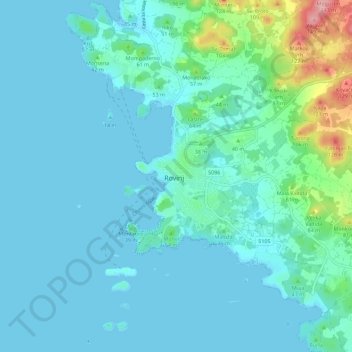
Name: Rovinj topographic map, elevation, terrain.
Location: Rovinj, Grad Rovinj, Istria County, 52210, Croatia (45.04098 13.60240 45.12098 13.68240)
Average elevation: 20 m
Minimum elevation: -1 m
Maximum elevation: 142 m