
Indoli topographic map
Interactive map
Click on the map to display elevation.
About this map
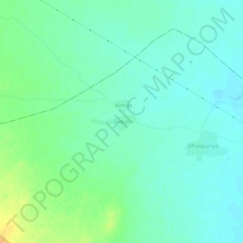
Name: Indoli topographic map, elevation, terrain.
Location: Indoli, Kishangarh Tehsil, Ajmer, Rajasthan, India (26.50023 74.96512 26.54023 75.00512)
Average elevation: 394 m
Minimum elevation: 384 m
Maximum elevation: 417 m