
Kulusuk topographic map
Interactive map
Click on the map to display elevation.
About this map
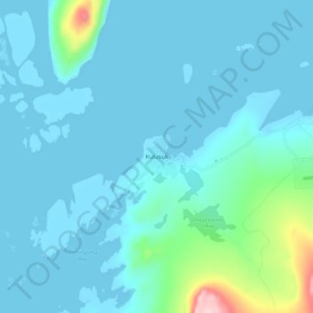
Name: Kulusuk topographic map, elevation, terrain.
Location: Kulusuk, Sermersooq, Greenland (65.55564 -37.20693 65.59564 -37.16693)
Average elevation: 23 m
Minimum elevation: -1 m
Maximum elevation: 212 m