
Northcliffe Park topographic map
Interactive map
Click on the map to display elevation.
About this map
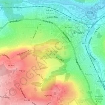
Name: Northcliffe Park topographic map, elevation, terrain.
Average elevation: 129 m
Minimum elevation: 63 m
Maximum elevation: 218 m
Other topographic maps
Click on a map to view its topography, its elevation and its terrain.
Saltaire
United Kingdom > England > Bradford > Shipley
Saltaire, Shipley, Baildon, Bradford, West Yorkshire, England, United Kingdom
Average elevation: 115 m