
Village of Pawling topographic map
Interactive map
Click on the map to display elevation.
About this map
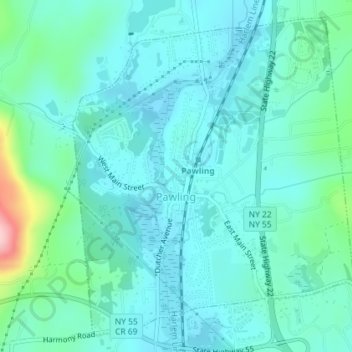
Name: Village of Pawling topographic map, elevation, terrain.
Average elevation: 160 m
Minimum elevation: 125 m
Maximum elevation: 323 m
Other topographic maps
Click on a map to view its topography, its elevation and its terrain.
Hydepark Recreations
United States > New York > Dutchess County > Town of Hyde Park
Average elevation: 66 m