
Centerville topographic map
Interactive map
Click on the map to display elevation.
About this map
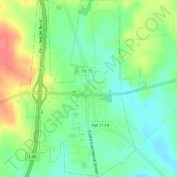
Name: Centerville topographic map, elevation, terrain.
Location: Centerville, Leon County, Texas, United States (31.24423 -95.99166 31.27356 -95.96738)
Average elevation: 109 m
Minimum elevation: 82 m
Maximum elevation: 153 m
Other topographic maps
Click on a map to view its topography, its elevation and its terrain.