
Kampung Jenagor topographic map
Interactive map
Click on the map to display elevation.
About this map
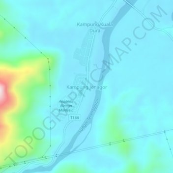
Name: Kampung Jenagor topographic map, elevation, terrain.
Location: Kampung Jenagor, Hulu Terennganu, Terengganu, Malaysia (5.02937 102.91371 5.06937 102.95371)
Average elevation: 68 m
Minimum elevation: 3 m
Maximum elevation: 522 m