
Longmeadow topographic map
Interactive map
Click on the map to display elevation.
About this map
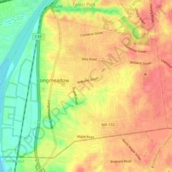
Name: Longmeadow topographic map, elevation, terrain.
Location: Longmeadow, Hampden County, Massachusetts, United States (42.02474 -72.60812 42.07219 -72.53156)
Average elevation: 43 m
Minimum elevation: 6 m
Maximum elevation: 71 m