
Tuttle topographic map
Interactive map
Click on the map to display elevation.
About this map
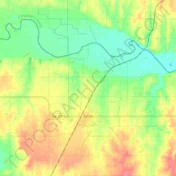
Name: Tuttle topographic map, elevation, terrain.
Location: Tuttle, Grady County, Oklahoma, 73089, United States (35.27625 -97.83008 35.34693 -97.67078)
Average elevation: 391 m
Minimum elevation: 362 m
Maximum elevation: 431 m