
Tuttle topographic map
Interactive map
Click on the map to display elevation.
About this map
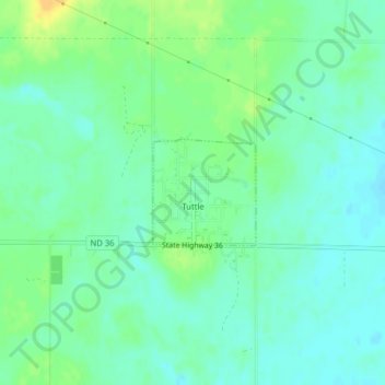
Name: Tuttle topographic map, elevation, terrain.
Location: Tuttle, Kidder County, North Dakota, United States (47.14086 -99.99870 47.14833 -99.98806)
Average elevation: 566 m
Minimum elevation: 557 m
Maximum elevation: 583 m