
Cicucium Brecon Gaer Roman Fort topographic map
Interactive map
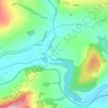
Click on the map to display elevation.
About this map
Name: Cicucium Brecon Gaer Roman Fort topographic map, elevation, terrain.
Average elevation: 201 m
Minimum elevation: 140 m
Maximum elevation: 345 m
Wales trails, hiking, mountain biking, running and outdoor activities