
Jack County topographic map
Interactive map
Click on the map to display elevation.
About this map
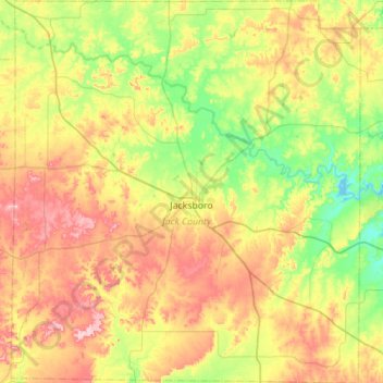
Name: Jack County topographic map, elevation, terrain.
Location: Jack County, Texas, United States (33.00125 -98.42692 33.46704 -97.91818)
Average elevation: 334 m
Minimum elevation: 252 m
Maximum elevation: 458 m
Other topographic maps
Click on a map to view its topography, its elevation and its terrain.