
Alvin topographic map
Interactive map
Click on the map to display elevation.
About this map
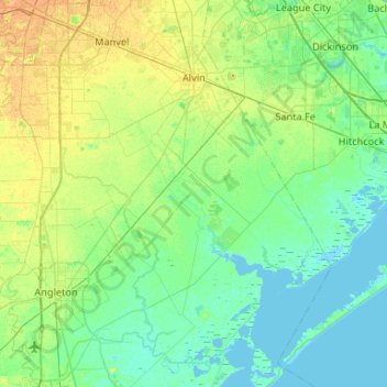
Name: Alvin topographic map, elevation, terrain.
Location: Alvin, Brazoria County, Texas, United States (29.06809 -95.58356 29.50237 -95.05651)
Average elevation: 8 m
Minimum elevation: -2 m
Maximum elevation: 25 m
Other topographic maps
Click on a map to view its topography, its elevation and its terrain.