
Xiashantou topographic map
Interactive map
Click on the map to display elevation.
About this map
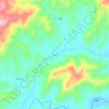
Name: Xiashantou topographic map, elevation, terrain.
Location: Xiashantou, Nanping City, Fujian, China (27.30287 117.37360 27.34287 117.41360)
Average elevation: 297 m
Minimum elevation: 211 m
Maximum elevation: 503 m