
chelad kochappilly thodu topographic map
Interactive map
Click on the map to display elevation.
About this map
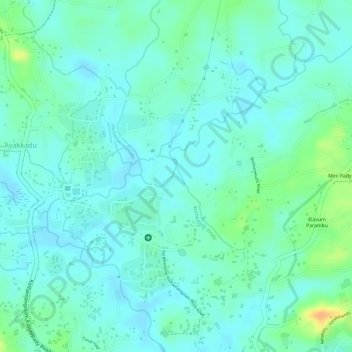
Name: chelad kochappilly thodu topographic map, elevation, terrain.
Average elevation: 28 m
Minimum elevation: 18 m
Maximum elevation: 55 m
Other topographic maps
Click on a map to view its topography, its elevation and its terrain.
Kothamangalam
India > Kerala > Kothamangalam
Kothamangalam, Ernakulam district, Kerala, 686666, India
Average elevation: 34 m