
Ponmudi Dam topographic map
Interactive map
Click on the map to display elevation.
About this map
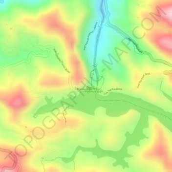
Name: Ponmudi Dam topographic map, elevation, terrain.
Location: Ponmudi Dam, Idukki, Kerala, India (9.96057 77.05537 9.96068 77.05545)
Average elevation: 715 m
Minimum elevation: 561 m
Maximum elevation: 861 m
Other topographic maps
Click on a map to view its topography, its elevation and its terrain.