
Jabor topographic map
Interactive map
Click on the map to display elevation.
About this map
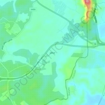
Name: Jabor topographic map, elevation, terrain.
Location: Jabor, Kemaman District, Terengganu, Malaysia (3.92722 103.30146 3.96722 103.34146)
Average elevation: 33 m
Minimum elevation: 5 m
Maximum elevation: 130 m