
Bratton Castle topographic map
Interactive map
Click on the map to display elevation.
About this map
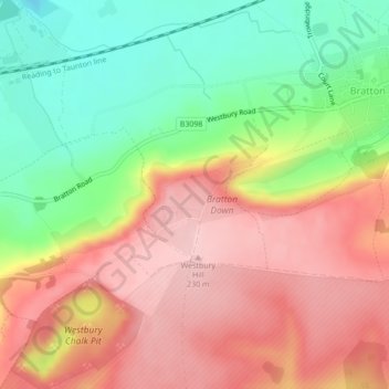
Name: Bratton Castle topographic map, elevation, terrain.
Average elevation: 144 m
Minimum elevation: 42 m
Maximum elevation: 233 m
Other topographic maps
Click on a map to view its topography, its elevation and its terrain.
Bratton
United Kingdom > England > Bratton
Bratton, Wiltshire, South West England, England, BA13 4TP, United Kingdom
Average elevation: 128 m