
Loudon topographic map
Interactive map
Click on the map to display elevation.
About this map
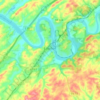
Name: Loudon topographic map, elevation, terrain.
Average elevation: 267 m
Minimum elevation: 223 m
Maximum elevation: 348 m
Other topographic maps
Click on a map to view its topography, its elevation and its terrain.
Philadelphia
United States > Tennessee > Loudon County
Philadelphia, Loudon County, Tennessee, United States
Average elevation: 279 m