
Fort Drum topographic map
Interactive map
Click on the map to display elevation.
About this map
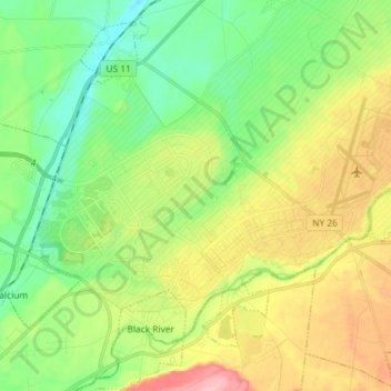
Name: Fort Drum topographic map, elevation, terrain.
Average elevation: 174 m
Minimum elevation: 118 m
Maximum elevation: 268 m
Other topographic maps
Click on a map to view its topography, its elevation and its terrain.
Just Room Enough Island
United States > New York > Jefferson County > Village of Alexandria Bay
Average elevation: 78 m