
Defence Colony topographic map
Interactive map
Click on the map to display elevation.
About this map
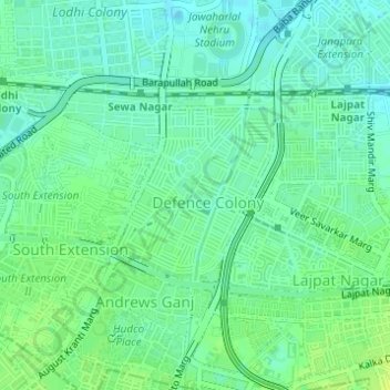
Name: Defence Colony topographic map, elevation, terrain.
Average elevation: 215 m
Minimum elevation: 208 m
Maximum elevation: 223 m
Other topographic maps
Click on a map to view its topography, its elevation and its terrain.
Okhla
India > Delhi > Defence Colony Tehsil
Okhla, Defence Colony Tehsil, South East Delhi, Delhi, India
Average elevation: 206 m
Andrews Ganj
India > Delhi > Defence Colony Tehsil
Andrews Ganj, Defence Colony Tehsil, South East Delhi, Delhi, India
Average elevation: 217 m
Kidwai Nagar East
India > Delhi > Defence Colony Tehsil
Kidwai Nagar East, Defence Colony Tehsil, South East Delhi, Delhi, India
Average elevation: 216 m