
Dexter topographic map
Interactive map
Click on the map to display elevation.
About this map
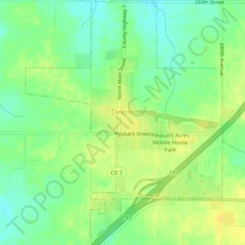
Name: Dexter topographic map, elevation, terrain.
Location: Dexter, Mower County, Minnesota, United States (43.70520 -92.71934 43.73188 -92.68937)
Average elevation: 427 m
Minimum elevation: 415 m
Maximum elevation: 437 m