
Oketo topographic map
Interactive map
Click on the map to display elevation.
About this map
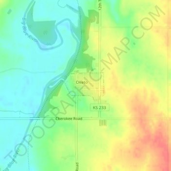
Name: Oketo topographic map, elevation, terrain.
Location: Oketo, Marshall County, Kansas, United States (39.96076 -96.60345 39.96543 -96.59520)
Average elevation: 377 m
Minimum elevation: 352 m
Maximum elevation: 410 m