
Bella Vista topographic map
Interactive map
Click on the map to display elevation.
About this map
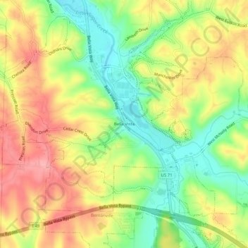
Name: Bella Vista topographic map, elevation, terrain.
Location: Bella Vista, Benton County, Arkansas, 72715, United States (36.40952 -94.25160 36.44952 -94.21160)
Average elevation: 359 m
Minimum elevation: 304 m
Maximum elevation: 413 m