
Smithville topographic map
Interactive map
Click on the map to display elevation.
About this map
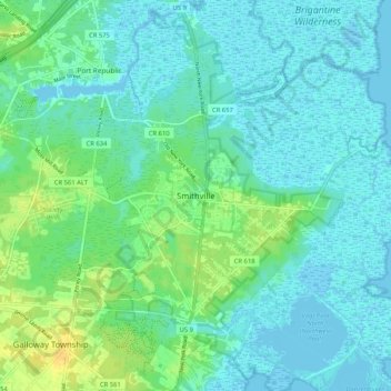
Name: Smithville topographic map, elevation, terrain.
Average elevation: 7 m
Minimum elevation: -2 m
Maximum elevation: 24 m
Other topographic maps
Click on a map to view its topography, its elevation and its terrain.
Atlantic City
United States > New Jersey > Atlantic County
Because of its location in South Jersey, which hugs the Atlantic Ocean between marshlands and islands, Atlantic City was viewed by developers as prime real estate and a potential resort town. In 1853, the first commercial hotel, the Belloe House, which was built at the intersection of Massachusetts and…
Average elevation: 1 m
Mays Landing
United States > New Jersey > Atlantic County > Hamilton Township > Mays Landing
Average elevation: 7 m
Atlantic City
United States > New Jersey > Atlantic County
Because of its location in South Jersey, hugging the Atlantic Ocean between marshlands and islands, Atlantic City was viewed by developers as prime real estate and a potential resort town. In 1853, the first commercial hotel, the Belloe House, was built at the intersection of Massachusetts and Atlantic…
Average elevation: 1 m