
Macmerry topographic map
Interactive map
Click on the map to display elevation.
About this map
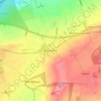
Name: Macmerry topographic map, elevation, terrain.
Location: Macmerry, East Lothian, Scotland, EH33 1RA, United Kingdom (55.92185 -2.92720 55.96185 -2.88720)
Average elevation: 91 m
Minimum elevation: 30 m
Maximum elevation: 134 m
East Lothian trails, hiking, mountain biking, running and outdoor activities
Other topographic maps
Click on a map to view its topography, its elevation and its terrain.