
Cwmbelan topographic map
Interactive map
Click on the map to display elevation.
About this map
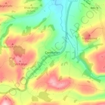
Name: Cwmbelan topographic map, elevation, terrain.
Location: Cwmbelan, Powys, Wales, SY18 6RG, United Kingdom (52.40216 -3.57334 52.44216 -3.53334)
Average elevation: 282 m
Minimum elevation: 167 m
Maximum elevation: 418 m