
Mae Ai topographic map
Interactive map
Click on the map to display elevation.
About this map
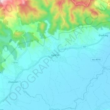
Name: Mae Ai topographic map, elevation, terrain.
Location: Mae Ai, Chiang Mai Province, 50280, Thailand (19.99287 99.25800 20.07287 99.33800)
Average elevation: 537 m
Minimum elevation: 445 m
Maximum elevation: 1,008 m