
Dyer topographic map
Interactive map
Click on the map to display elevation.
About this map
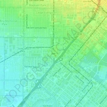
Name: Dyer topographic map, elevation, terrain.
Average elevation: 19 m
Minimum elevation: 9 m
Maximum elevation: 35 m
Other topographic maps
Click on a map to view its topography, its elevation and its terrain.
South Coast
United States > California > Orange County > Santa Ana
South Coast, Santa Ana, Orange County, CAL Fire Southern Region, California, United States
Average elevation: 13 m
Santa Ana
United States > California > Orange County > Santa Ana
Santa Ana, Orange County, California, 82706, United States
Average elevation: 83 m