
Make a donation
Gear up for your next adventure:
As an Amazon Associate, this site earns from qualifying purchases at no extra cost to you.
Medford Lakes topographic map
Click on the map to display elevation.
Make a donation
Gear up for your next adventure:
As an Amazon Associate, this site earns from qualifying purchases at no extra cost to you.
Medford Lakes
The borough experienced heavy damage on July 12, 2004, during a day which saw 7.26 inches (184 mm) of rain fall over a 14-hour period. The heavy rain caused a series of dam breaks and breaches in the surrounding areas of Southern New Jersey, which have since been replaced. Quogue Dam, as well as both Lower and Upper Aetna Lake Dams failed, with high water levels on portions of Ballinger Run exceeding 500-year flood elevations
Make a donation
Gear up for your next adventure:
As an Amazon Associate, this site earns from qualifying purchases at no extra cost to you.
About this map
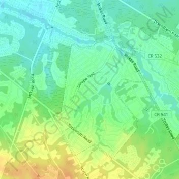
Name: Medford Lakes topographic map, elevation, terrain.
Average elevation: 27 m
Minimum elevation: 17 m
Maximum elevation: 40 m
Make a donation
Gear up for your next adventure:
As an Amazon Associate, this site earns from qualifying purchases at no extra cost to you.