
Dhaklo topographic map
Interactive map
Click on the map to display elevation.
About this map
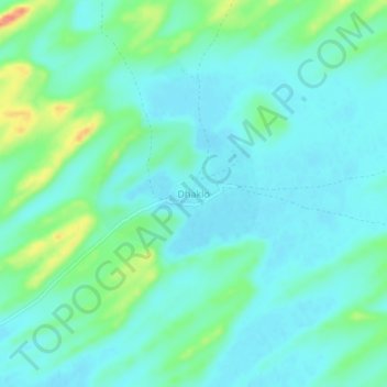
Name: Dhaklo topographic map, elevation, terrain.
Location: Dhaklo, Tharparkar District, Sindh, Pakistan (24.91948 70.23869 24.95948 70.27869)
Average elevation: 96 m
Minimum elevation: 81 m
Maximum elevation: 149 m