
Riverview topographic map
Interactive map
Click on the map to display elevation.
About this map
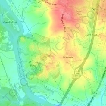
Name: Riverview topographic map, elevation, terrain.
Location: Riverview, York County, South Carolina, United States (34.98823 -80.99834 35.01960 -80.97072)
Average elevation: 177 m
Minimum elevation: 143 m
Maximum elevation: 218 m