
Kostgefäll, evtl gesperrt 1.1.-31.7. topographic map
Interactive map
Click on the map to display elevation.
About this map
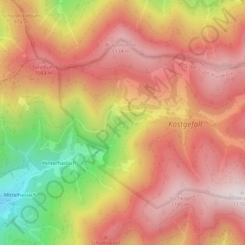
Name: Kostgefäll, evtl gesperrt 1.1.-31.7. topographic map, elevation, terrain.
Average elevation: 909 m
Minimum elevation: 477 m
Maximum elevation: 1,171 m