
Namie topographic map
Interactive map
Click on the map to display elevation.
About this map
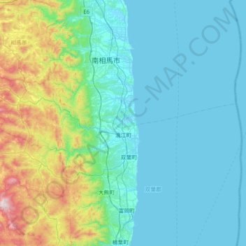
Name: Namie topographic map, elevation, terrain.
Location: Namie, Futaba County, Fukushima Prefecture, 979-1513, Japan (37.41950 140.68367 37.61482 141.29516)
Average elevation: 188 m
Minimum elevation: -2 m
Maximum elevation: 1,171 m