
Cyamudongo Forest topographic map
Interactive map
Click on the map to display elevation.
About this map
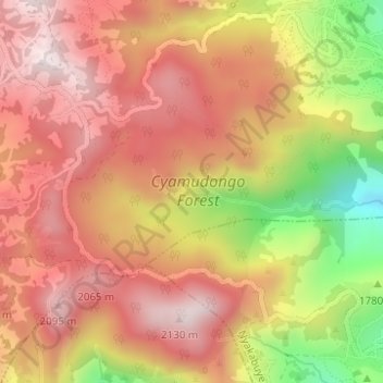
Name: Cyamudongo Forest topographic map, elevation, terrain.
Location: Cyamudongo Forest, Nkungu, Rusizi, Western Province, Rwanda (-2.56740 28.97412 -2.53653 29.00466)
Average elevation: 1,894 m
Minimum elevation: 1,512 m
Maximum elevation: 2,120 m