
Clonallan topographic map
Interactive map
Click on the map to display elevation.
About this map
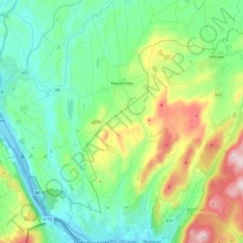
Name: Clonallan topographic map, elevation, terrain.
Average elevation: 135 m
Minimum elevation: -2 m
Maximum elevation: 472 m
Other topographic maps
Click on a map to view its topography, its elevation and its terrain.
Mayobridge
United Kingdom > Northern Ireland > Mayobridge
Mayobridge, County Down, Northern Ireland, BT34 2EX, United Kingdom
Average elevation: 141 m