
Sanderson topographic map
Interactive map
Click on the map to display elevation.
About this map
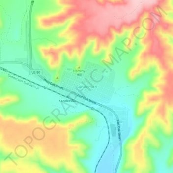
Name: Sanderson topographic map, elevation, terrain.
Location: Sanderson, Terrell County, Texas, United States (30.10241 -102.43402 30.18241 -102.35402)
Average elevation: 908 m
Minimum elevation: 797 m
Maximum elevation: 1,052 m