
علعال topographic map
Interactive map
Click on the map to display elevation.
About this map
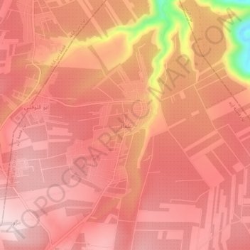
Name: علعال topographic map, elevation, terrain.
Location: علعال, Irbid, Jordan (32.61227 35.88393 32.65227 35.92393)
Average elevation: 472 m
Minimum elevation: 244 m
Maximum elevation: 540 m