
Muncy topographic map
Interactive map
Click on the map to display elevation.
About this map
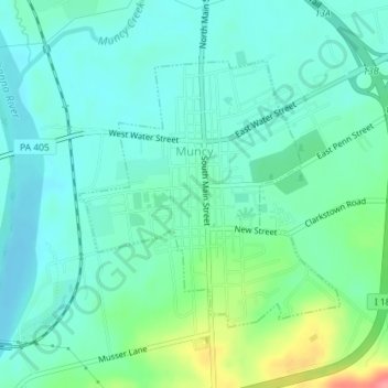
Name: Muncy topographic map, elevation, terrain.
Location: Muncy, Lycoming County, Pennsylvania, United States (41.19256 -76.79773 41.21111 -76.77360)
Average elevation: 159 m
Minimum elevation: 138 m
Maximum elevation: 227 m