
Genteng topographic map
Interactive map
Click on the map to display elevation.
About this map
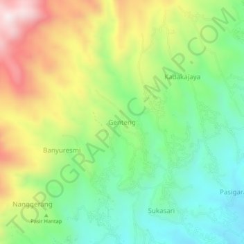
Name: Genteng topographic map, elevation, terrain.
Location: Genteng, West Java, Indonesia (-6.88220 107.75365 -6.84220 107.79365)
Average elevation: 1,175 m
Minimum elevation: 898 m
Maximum elevation: 1,606 m