
Dunns Bridge topographic map
Interactive map
Click on the map to display elevation.
About this map
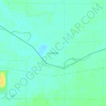
Name: Dunns Bridge topographic map, elevation, terrain.
Location: Dunns Bridge, Porter County, Indiana, 46380, United States (41.20559 -86.99391 41.24559 -86.95391)
Average elevation: 204 m
Minimum elevation: 197 m
Maximum elevation: 220 m