
Mügeln topographic map
Interactive map
Click on the map to display elevation.
About this map
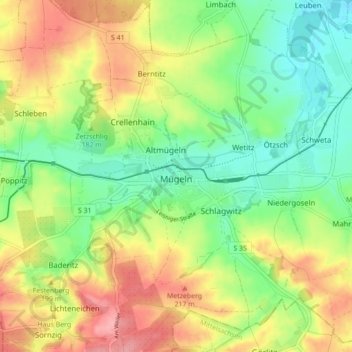
Name: Mügeln topographic map, elevation, terrain.
Location: Mügeln, Nordsachsen, Saxony, 04769, Germany (51.21126 13.02308 51.26302 13.11040)
Average elevation: 178 m
Minimum elevation: 134 m
Maximum elevation: 235 m