
Kerura topographic map
Interactive map
Click on the map to display elevation.
About this map
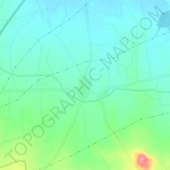
Name: Kerura topographic map, elevation, terrain.
Location: Kerura, Chikodi taluk, Belgaum district, Karnataka, India (16.44677 74.62408 16.48677 74.66408)
Average elevation: 584 m
Minimum elevation: 561 m
Maximum elevation: 655 m