
Calls topographic map
Interactive map
Click on the map to display elevation.
About this map
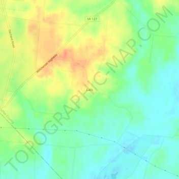
Name: Calls topographic map, elevation, terrain.
Location: Calls, Coffee County, Tennessee, United States (35.32619 -86.02526 35.36619 -85.98526)
Average elevation: 314 m
Minimum elevation: 295 m
Maximum elevation: 338 m