
Crawfordville topographic map
Interactive map
Click on the map to display elevation.
About this map
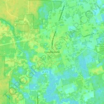
Name: Crawfordville topographic map, elevation, terrain.
Location: Crawfordville, Wakulla County, Florida, 32326, United States (30.13604 -84.41518 30.21604 -84.33518)
Average elevation: 9 m
Minimum elevation: 1 m
Maximum elevation: 18 m
Other topographic maps
Click on a map to view its topography, its elevation and its terrain.
Sopchoppy
United States > Florida > Wakulla County > Sopchoppy
Sopchoppy, Wakulla County, Florida, United States
Average elevation: 9 m