
Upton Country Park topographic map
Interactive map
Click on the map to display elevation.
About this map
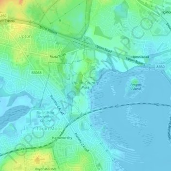
Name: Upton Country Park topographic map, elevation, terrain.
Average elevation: 7 m
Minimum elevation: -3 m
Maximum elevation: 32 m
Other topographic maps
Click on a map to view its topography, its elevation and its terrain.
Poole Harbour
United Kingdom > England > Poole
Poole Harbour, Poole, Bournemouth, Christchurch and Poole, South West England, England, United Kingdom
Average elevation: 11 m