
Ratapani topographic map
Interactive map
Click on the map to display elevation.
About this map
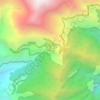
Name: Ratapani topographic map, elevation, terrain.
Location: Ratapani, Munsiari, India (30.01662 80.17333 30.05662 80.21333)
Average elevation: 2,489 m
Minimum elevation: 1,638 m
Maximum elevation: 3,594 m