
Pennington Gap topographic map
Interactive map
Click on the map to display elevation.
About this map
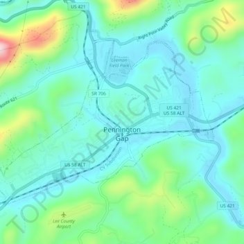
Name: Pennington Gap topographic map, elevation, terrain.
Location: Pennington Gap, Lee County, Virginia, 24277, United States (36.74765 -83.05595 36.77266 -83.00978)
Average elevation: 481 m
Minimum elevation: 405 m
Maximum elevation: 740 m